Lake Pepin Legacy Alliance
The Lake Pepin Legacy Alliance (LPLA) is a grassroots organization whose mission is to protect and restore Lake Pepin’s water quality, wildlife habitat, public accessibility, and recreational opportunities for everyone along the Upper Mississippi River. As a non-profit, we are funded primarily by grants and individual contributions. Today, we have over 1,300 members across Minnesota, Wisconsin, and the country! You can learn more about our membership program here.
News and Notes from LPLA
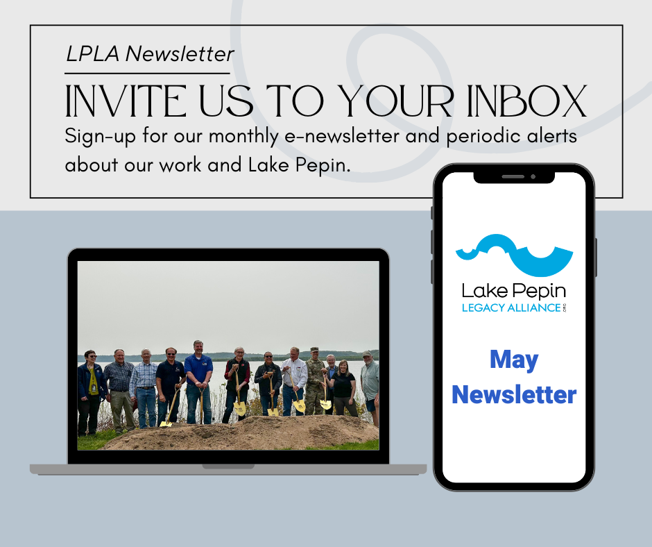
Don’t miss out on the latest Lake Pepin information. Sign up for our newsletter and follow along! Subscribe here.
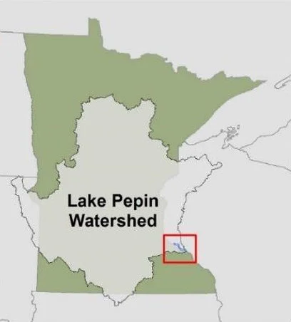
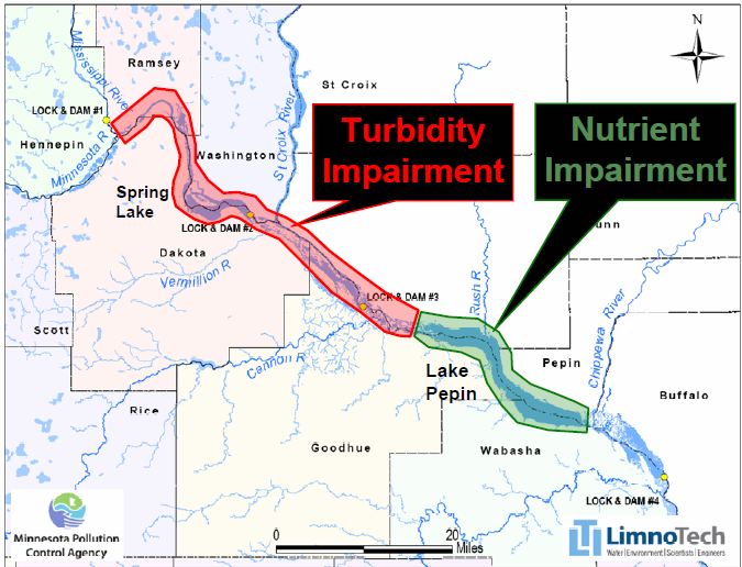
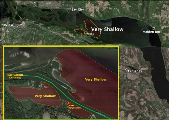
Lake Pepin is facing challenges that have significance both near and far. The impacts of upstream land use decisions exacerbated by climate change have outpaced the lake’s natural ability to act as a filter for the river. Under immediate threat is the unique ecosystem in Lake Pepin, a globally important flyway and a critical hotspot for biodiversity in the Midwest. The near-closure of navigation channels from ongoing sediment deposition is already affecting transportation and recreation, and the local and regional economies of the communities around the lake will decline without help.
The best way you can help Lake Pepin and the Mississippi River is to get involved, stay informed, and volunteer. LPLA members are crucial to our work advocating for the lake because we rely on our members to be spokespeople for our mission, and to promote a healthy river system. Become a member today and help us in conserving Lake Pepin, a vital stretch of the Mississippi River!
Learn more about the problems the lake is facing, solutions LPLA is working on, and what you can do to help.