The Mississippi River and Lake Pepin received some special attention this August and LPLA was honored to have a seat at the table for those important conversations.
At a very local level, we saw examples of farmers going above and beyond to keep soil on their land through practices like cover crops at the Wabasha Soil & Water Conservation District Tour. We were shown areas where flooding has caused severe bank erosion with a high price tag to fix, and we discussed opportunities for water storage across the landscape – imperative to preserving Lake Pepin.
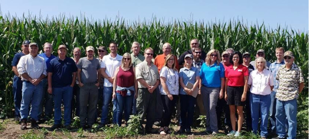
LPLA Executive Director, Rylee Main, with other attendees from the Wabasha Soil & Water Conservation District Farm Tour
Flooding, excessive soil erosion, and innovative land management opportunities are by no means unique to Wabasha County. The same topics have been the focus of discussion in addressing broader issues up and down the Mississippi River this summer.
In mid-August, LPLA attended the River Resources Forum, a 5-state, interagency, quarterly meeting created to coordinate on Mississippi River projects within the St. Paul District of the U.S. Army Corps of Engineers. Management of material dredged from the navigation channel is a primary topic along with its relation to other state and federal programs (using the material to restore habitat, for example). This summer, the prolonged flooding and accelerated sediment transport focused the conversation around a growing need for funding and permanent placement sites to keep up with the unrelenting work load.
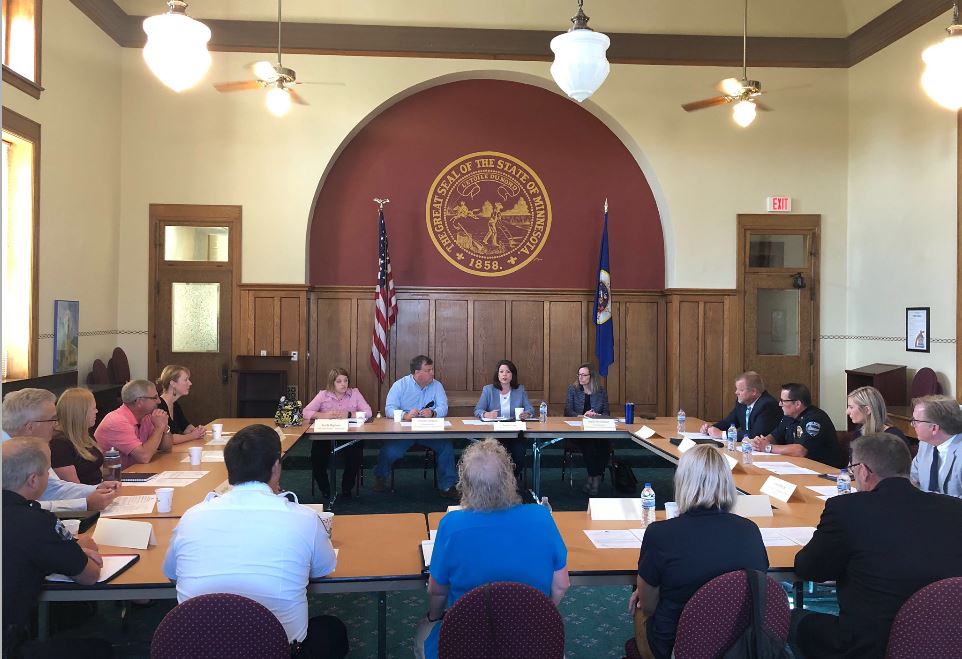
LPLA attended the Flood Resiliency Roundtable hosted by U.S. Representative Angie Craig.
LPLA learned that the Army Corps of Engineers (ACOE) has identified a need to dredge nearly 90,000 cubic yards of material from the head of Lake Pepin, but with no placement site nearby, this work has been continually delayed to prioritize areas more likely to shut down commercial navigation. The issue of maintaining a channel for commercial navigation ties directly to how much water and sediment is coming through the system, so it is natural to ask: what is being done upstream to reduce the pressures on navigation?
LPLA had the opportunity to discuss this question with U.S. Representative Angie Craig at a Flooding Resiliency Roundtable hosted by her office. Representatives at the roundtable included the ACOE, river and barge industries, agriculture, natural resources, and officials from local, state, and federal offices. As the conversation circled around the pressing need to keep the navigation channel open, we spoke up for Lake Pepin.
The need to dredge and find permanent placement sites for material is not going away, and the extreme flood-drought cycle is becoming more prevalent, so how can we shift to a proactive approach that reduces the workload and financial burden of maintaining the navigation channel? It’s about Lake Pepin, but it’s also about the entire Mississippi River and all of the land draining into it.

LPLA Executive Director, Rylee Main, spoke with U.S. Representative Angie Craig about Lake Pepin sedimentation and upstream mitigation efforts.
The proactive solutions needed in the Mississippi River come back to how we manage our land. Can we get more perennial vegetation on the landscape to prevent loss of topsoil, to soak up water and mitigate flooding throughout the spring and summer? Can we prevent Lake Pepin from disappearing prematurely?
These were the questions on our mind when we hosted an open- house to discuss recent studies from the Minnesota Pollution Control Agency with the public. Open for public comment through September 20th, the study on the Minnesota River sets limits and guides sediment reductions. This is important for Lake Pepin because the Minnesota River contributes roughly 80% of the sediment settling at the head of the lake. While the study establishes important sediment reductions, it doesn’t explain how we are able to pay for changes at the scale needed to see a measurable difference in Lake Pepin, or realistically how long we’ll need to wait for that to happen.
The good news is that the people who love Lake Pepin are not alone in this fight. The need for upstream solutions is increasingly palpable among a broader network of river users. We can mobilize this force to create a more resilient Lake Pepin, a more resilient Mississippi River, AND a more resilient agricultural economy by supporting the development and enhancement of new agricultural systems that improve natural resources and provide new economic opportunities.